The National Centre of Meteorology (NCM) has forecast unstable weather conditions across the UAE beginning Tuesday night and continuing through March 6, with increasing cloud cover, scattered rainfall and rough sea conditions expected in several regions.
According to the authority, cloud development will begin Tuesday night over the islands and western areas, bringing a chance of light rainfall. The low-pressure system is expected to deepen relatively on Wednesday as cloud movement shifts toward Abu Dhabi and inland areas before extending to northern and eastern parts of the country, a WAM report said.
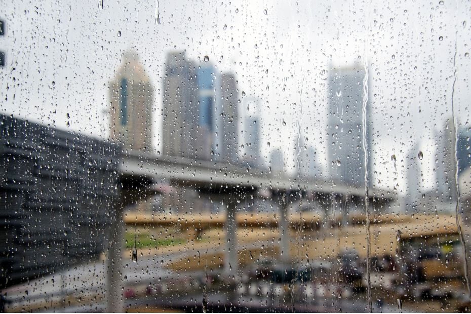
Read more-UAE braces for light rain, cooler temperatures early this week
Rainfall is forecast across various regions, mostly light to moderate, though it may turn heavy at times over some northern and eastern areas. A gradual decrease in cloud cover is anticipated starting Thursday night.
Detailed five-day forecast issued
In a comprehensive weather bulletin, the NCM outlined expected conditions from Monday, March 2, through Friday, March 6, 2026. The forecast is influenced by a weak surface pressure system combined with an extension of an upper-air high-pressure system. This interaction will result in generally fair conditions at the beginning of the week, followed by periods of cloud cover and the likelihood of rain later in the week.
On Monday, March 2, conditions were fair to partly cloudy, with increasing cloud cover at times, particularly over western regions overnight. Temperatures dipped slightly along the western coasts, while humidity levels rose overnight into Tuesday morning, raising the possibility of mist formation in some western areas.
Winds remained light to moderate but strengthened at times, causing blowing dust. Sea conditions in the Arabian Gulf ranged from slight to moderate, becoming rough overnight.
Temperature ranges varied across the country
Coastal and island regions experienced highs between 28°C and 33°C, with lows between 15°C and 20°C and relatively high humidity. Inland areas were warmer, reaching highs of up to 37°C and nighttime lows near 11°C. Mountain areas recorded milder conditions, with highs around 29°C and lows near 13°C.
Rain and winds intensify midweek
From Tuesday onward, forecasters expect conditions to become more unsettled. Tuesday may see partly cloudy skies, with rainfall possible overnight and into Wednesday morning, particularly across coastal areas and islands.
Winds are expected to shift from southeasterly to northwesterly, strengthening at times over the sea and reducing visibility due to blowing dust and sand.
Wednesday is forecast to remain partly cloudy to cloudy, with scattered rainfall and a noticeable drop in temperatures. Similar windy conditions are anticipated, especially over the Arabian Gulf, where seas are expected to become rough.
On Thursday, cloudy intervals are likely to persist, with daytime rainfall possible in coastal, northern and eastern regions. Winds will remain moderate, occasionally strengthening over the sea. Rough conditions are expected in the Arabian Gulf and, at times, in the Oman Sea.
Sea conditions are forecast to become gradually rough in the Arabian Gulf from Tuesday night through Thursday. In the Oman Sea, waves will range from slight to moderate, becoming rough at times.
Conditions improve by Friday
By Friday, forecasters expect gradual improvement, with fair to partly cloudy skies returning across much of the country. Cloud cover will mainly linger over southern areas.
Northwesterly winds will continue, while sea conditions are expected to remain rough in the Arabian Gulf and moderate to rough in the Oman Sea.
Overall, the NCM said residents can expect a mix of fair weather and cloudy periods in the coming days, along with occasional rainfall and windy conditions accompanied by a noticeable drop in temperatures.
Authorities advised residents to stay updated on official weather alerts, particularly concerning dust storms, mist formation and rough sea conditions that may affect travel and marine activities.